Planted with elms in 1852
Please note that this text is an extract from a reference work written in 1990. As a result, some of the content may not reflect recent research, changes and events.
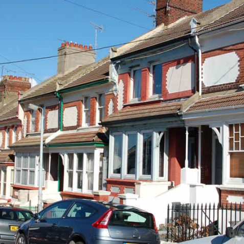
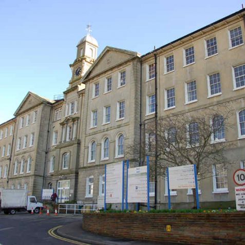
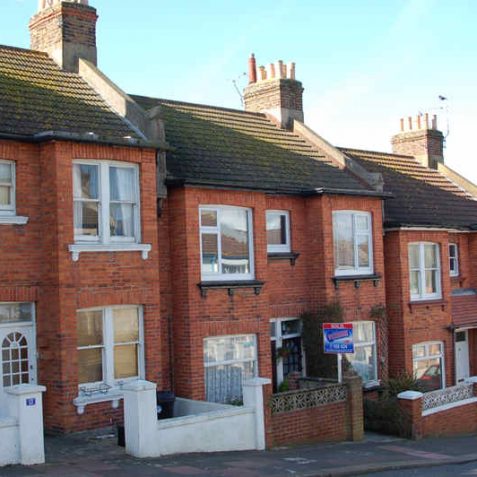
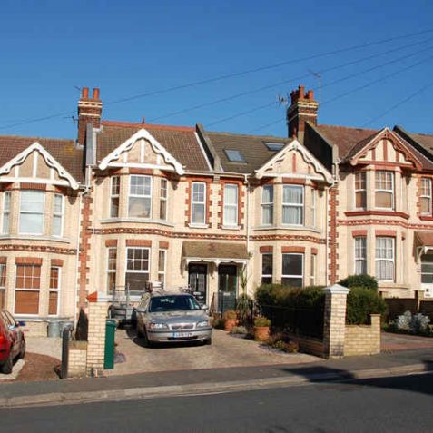
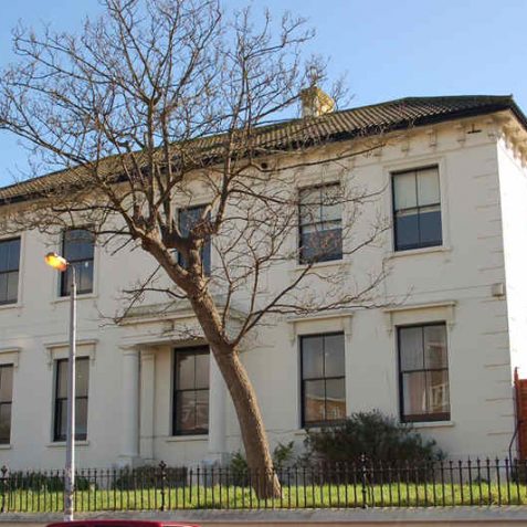
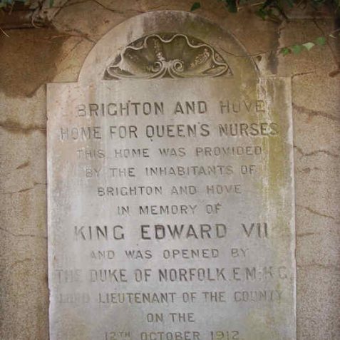
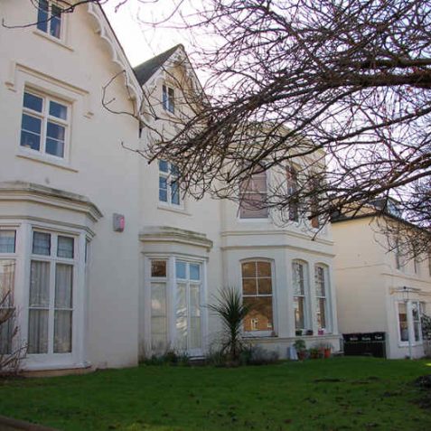
The main road from the town to the race-course was given its name in 1852 when it was planted with trees, many of which were uprooted in the storm of October 1987; it increased in importance with the opening of the new workhouse in 1867, now the General Hospital (q.v.). The lower part of Elm Grove was developed principally around 1860 and the higher part in the 1880s, while the small roads leading northwards, in one of the mostly densely populated parts of the town, were built in the 1860s and ’70s around Franklin Road, and in the 1880s, ’90s and 1900s around Hartington Road and east of Bonchurch Road. Wellington Road, however, was developed in the mid 1850s with several large villa residences. Only one detached villa now remains, no.18, a Church of England home with a Doric porch. Nos.12-14 Wellington Road are the home of the Queen’s Nurses, opened on 12 October 1912 in memory of the late King Edward VII, in conjunction with the Peace Statue on the sea-front; the home was extended in 1936. {83,108,112,311}
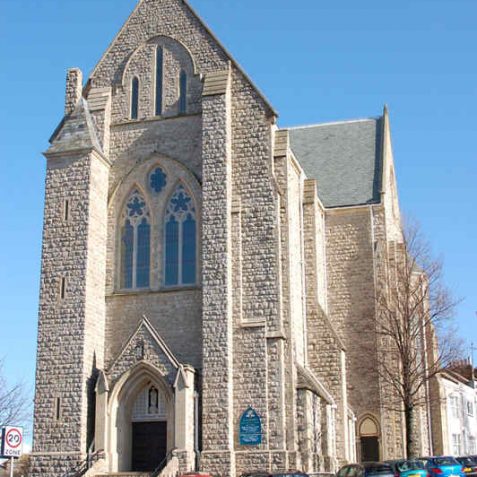
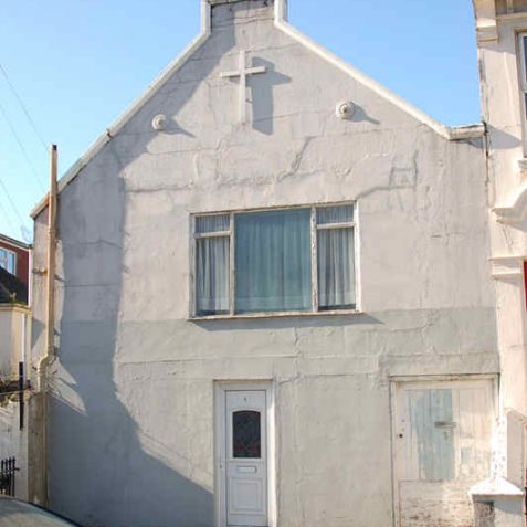
At the bottom of Elm Grove stands the Roman Catholic Church of St Joseph, a tall, grade II*-listed building in Early English style. The nave and transepts were built from rough Kentish ragstone by W.K.Brodo in 1866-9, and the three polygonal apses at the eastern end were added by J.S.Hansom in 1881-3. The church was completed by F.A.Walters with the addition of the west front in 1900 and the northern transept and chapel in 1906, but it was not dedicated until 8 May 1979 because of a long-standing debt. It has an impressive vaulted interior. The building bearing a cross at the corner of Milton Road was formerly St Joseph’s School. {44,45,83,123} The chapel in De Montfort Road was erected in 1932 as the EmmanuelFullGospelChurch. {83}
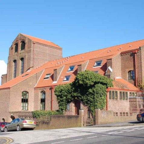
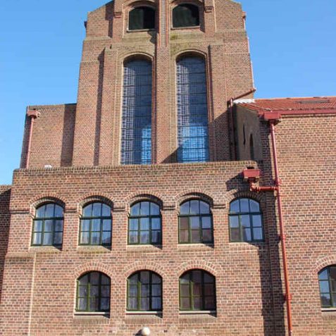
Higher up Elm Grove stands the now redundant St Wilfrid’s Church , erected in 1932-4 to the design of H.S.Goodhart-Rendel on the site of a temporary iron church of 1901. A large, brick edifice, it ‘does not imitate any style of the past, nor indeed the modern style of 1930’ according to Pevsner {45}. With a tall northern bell tower and a saddleback roof, it has been described by Sir John Betjeman as ‘about the best 1930s church there is’. To reflect this architectural merit it has now been listed grade II*. The interior is spacious and sparsely ornamented, but was greatly enriched when the Lady Chapel was decorated with a large mural by German refugee artist Hans Feibusch in 1940. The church was closed in 1980 when blue asbestos was discovered in the ceiling and a public inquiry was held over its future; the Church Commissioners dropped a plan to demolish it following the inspector’s recommendation, and it is now being converted into sheltered housing for the elderly. The parish, created in 1922, merged with St Martin’s, but the 1926 church hall still stands in Whippingham Road. {44,45,123}
The Hanover Mill, a tall post-mill erected in about 1838 but demolished in the late 1890s, stood on a site approximating to 39 Bernard Road. {109,249,249b}
Any numerical cross-references in the text above refer to resources in the Sources and Bibliography section of the Encyclopaedia of Brighton by Tim Carder.


Comments about this page
Does anyone have any information on ‘Scabes Castle’? It appears on old maps of this area on Hartington Road (I think) or possibly on the cemetery site.
I’d also love any information on Scabes Castle. Was it really a castle? From the maps I’ve seen I think it’s location was around the Brighton and Preston Cemetery area.
I have an 1895 map of the Scabes Castle Farm estate – showing that it comprised all the land on the north side of Elm Grove from Wellington Road to Tenantry Down Road, including Hartington Road (which stops at the bottom of Bernard Road) and the Brighton and Preston Cemetery. St Helen’s Road is already shown leading to the upper gate of the cemetery. However, there is no indication of where a farmhouse once stood, or indeed a castle.
David Trustram – thanks for that, I’d love to see the map. Did you live in Bernard Road? If so I think we spoke a couple of months ago regarding your Mum. If so please could you email me at pete.carol@ntlworld.com
I have been trying to find out (unsuccessfully!) about Scabs (Scabes) Castle. I have an ancestor who was working there in 1851, as a servant/coachman. I only know that quite a lot of people were employed there, and it was on the Lewes Road. Any other information would be very welcome.
My ancestors were living in Scabes Castle Cottage with their baby in the 1841 census (the husband was a Shepherd). At that time, there was another couple living there with their 3 children, (where the husband was an agricultural labourer), another unrelated woman and 2 other children with different names to any of them. In the census it was enumeration district 13, Parish of Brighthelmstone. The previous place listed just before the cottage is in ‘Hanover Crescent’. There was something posted on yeoldsussexpages.com about Scabes Castle Cottage in 2001. It says “On some old maps of Brighton there is reference to a place called Scables Castle situated off Bear road towards the east of the cemetary, any clues? The map is the Ordance Survey of 1880. Reply: It was a big house with lodge and a cottage. In 1895 the castle and land were taken over by Brighton and Preston Cemetary. The cemetary is quite hilly and the castle was where the chapel was built”.
I’ve got a map, undated but post 1879. The area described by David is sparse apart from two interesting features.
There’s a formal looking structure shown as a circle within a square, with a straight track leading to it located where Bernard Road is now.
Then there’s a track leading off a little further up Elm Grove, which follows the approximate course of Totland Road and Hartington Road. A smaller building shows approximately where Hartington Place stands today.
There is also a small building where the crematorium now stands.
On my 1899 map, the former structure has shrunk and the path is shown as windy. Many more buildings appear dotted around the estate, with a concentration to the West. By now, just 20 years later, the Bear road building is marked ‘Mort. Chap.’
Thanks for the info. Apologies for mentioning another website. Hope it’s ok to do so, but on the James Gray website there is a photo of the Elm Grove area taken from the Roundhill area (I think). It shows Hanover Mill before Bernard Road was built also the Scabes Farm estate around thge Hartington Road area. Amazing photo as I’ve only ever seen the one taken from the Race Hill looking down Elm Grove. So why was it called Scabes Castle if it was really a farm? I wonder what was there previous to the farm?
Scab’s Castle was a farm just nestled between the race course and Tennantry Down Road. It’s shown clearly on the Brighton Borough Surveyor’s map of 1864, I have a copy! I’ll scan it later for this section on Elm Grove.
Scabes Castle farm was a quadrangle of buildings a little to the north of the Hanover windmill (Tony Ling’s circle within a square). In the mid-nineteenth century Scabes Castle was farmed by Captain Henry James who was also a director of the nearby Brighton Extra-Mural Cemetery.
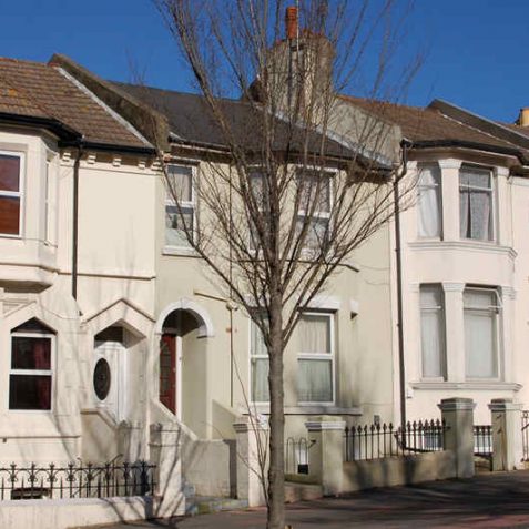
Thats my house! (left one).
Does anyone know any history on St Helen’s Road, Brighton? I was informed recently that the Nos 1/15 were built first. I was wondering why and how do I follow history up on this. I’d love to see old photos of it.
I think this road is Ryde Road not Franklin Road.
I used to live around the corner in Franklin Road. I knew a girl named Jackie Henley who was in no. 18 Wellington Road. I would love to find out what she’s doing now. alscaredofbears@gmail.com
I remember this church so well. I was in the choir used to get two shillings for a wedding and the choir was high in the back of the church so we could look down on everyone. Wednesday night was choir practise and we used to play in the stalls in the dark with torches. Louis Simkiss from Hartington Rd.
This was my family church, I was baptised, made my !st Holy communion, conformation and was married here and at least two of the generations before me. All my brothers and sister were too, and we went to St Joseph’s School, very happy days.
I live at the start of Wellington Road now in what seems quite an unusual building. Once a very large house now split into two addresses and multiple flats. I’d love to see any old photos or floor plans?
Add a comment about this page